Direct measurement first
Flux stations count molecules as they move between land and atmosphere. FluxMaps stay tied to those measurements, so every map can be traced back to what was actually observed.

Direct measurement of heat, water, and carbon, mapped to the fields, forests, and neighborhoods that produced it. Built in Colorado and deployed worldwide.
Who we work with






A flux station, an eddy covariance system in the scientific literature, measures the heat, water, and carbon that land and atmosphere exchange. Ordinary weather stations cannot. Traditional processing reports one wind-averaged value for the station's surroundings. FluxMapper turns those same readings into FluxMaps™: field-scale maps that show which fields, forests, and practices produced the exchange.
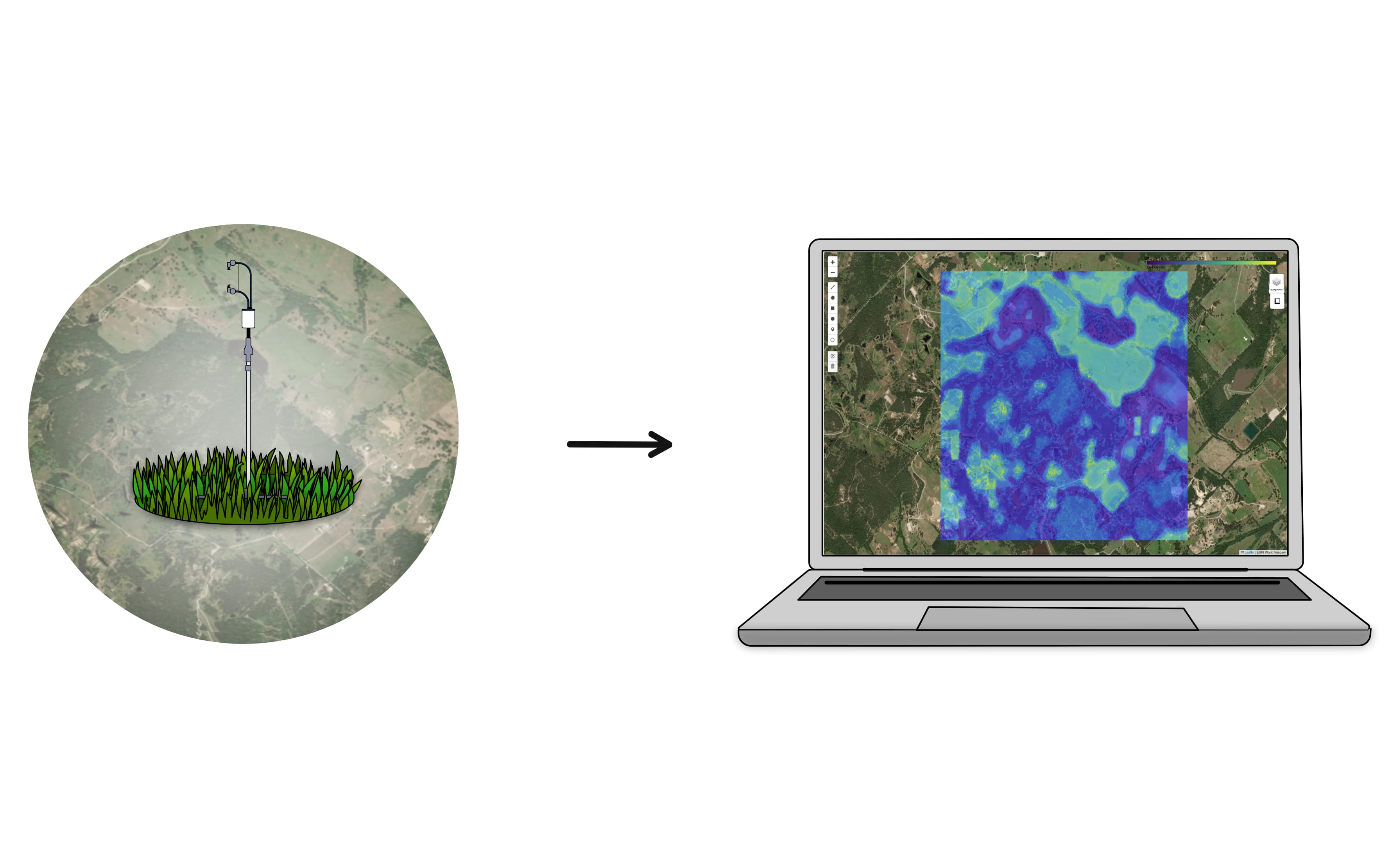

Flux stations count molecules as they move between land and atmosphere. FluxMaps stay tied to those measurements, so every map can be traced back to what was actually observed.
Like the navigation in a mobile phone, FluxMapper unites the station’s measurements with satellite imagery and traces the exchange back to its geographic sources and sinks, at decameter detail and sub-hourly time steps.
A FluxMap speaks to scientists, land managers, and markets alike. Gas exchange lands directly on property boundaries, so environmental claims can rest on measured reality.
From towers to terrain.
High-resolution flux mapping made simple, from the station in the field to the map on your desk.
One engine accounts for fluxes the same way across environments, so insight is comparable from a rice paddy to a city park. Today we map terrestrial carbon, water, and heat; further gas species, environments, and higher resolution are on the roadmap.
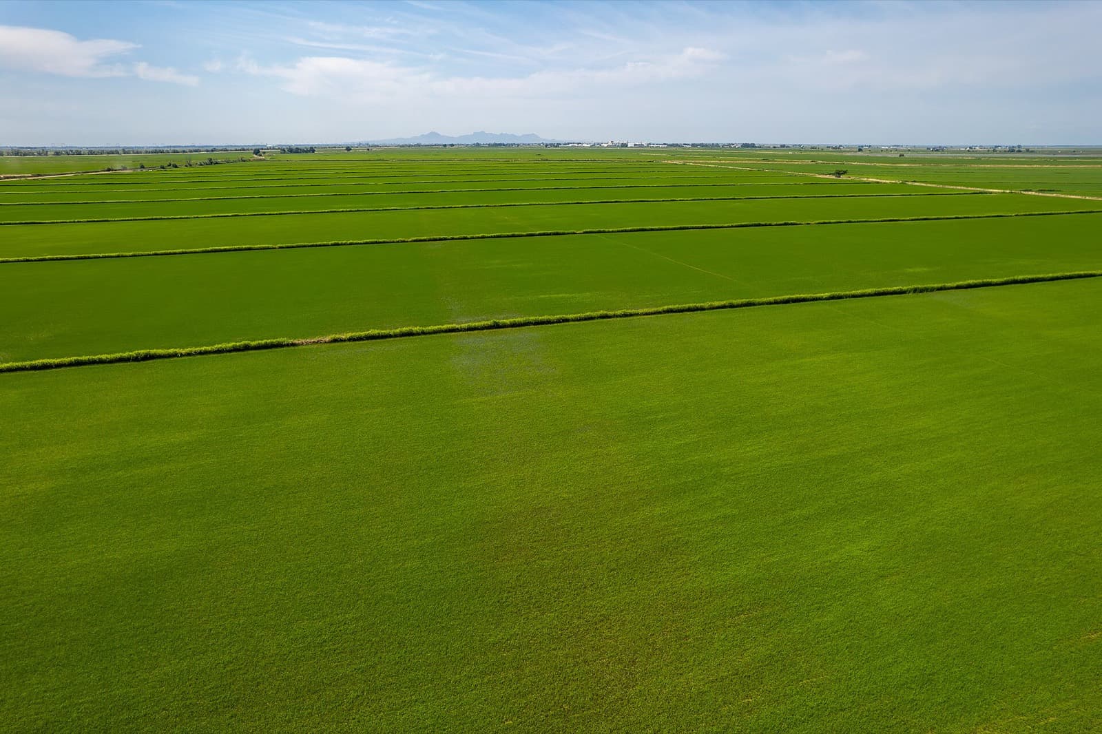
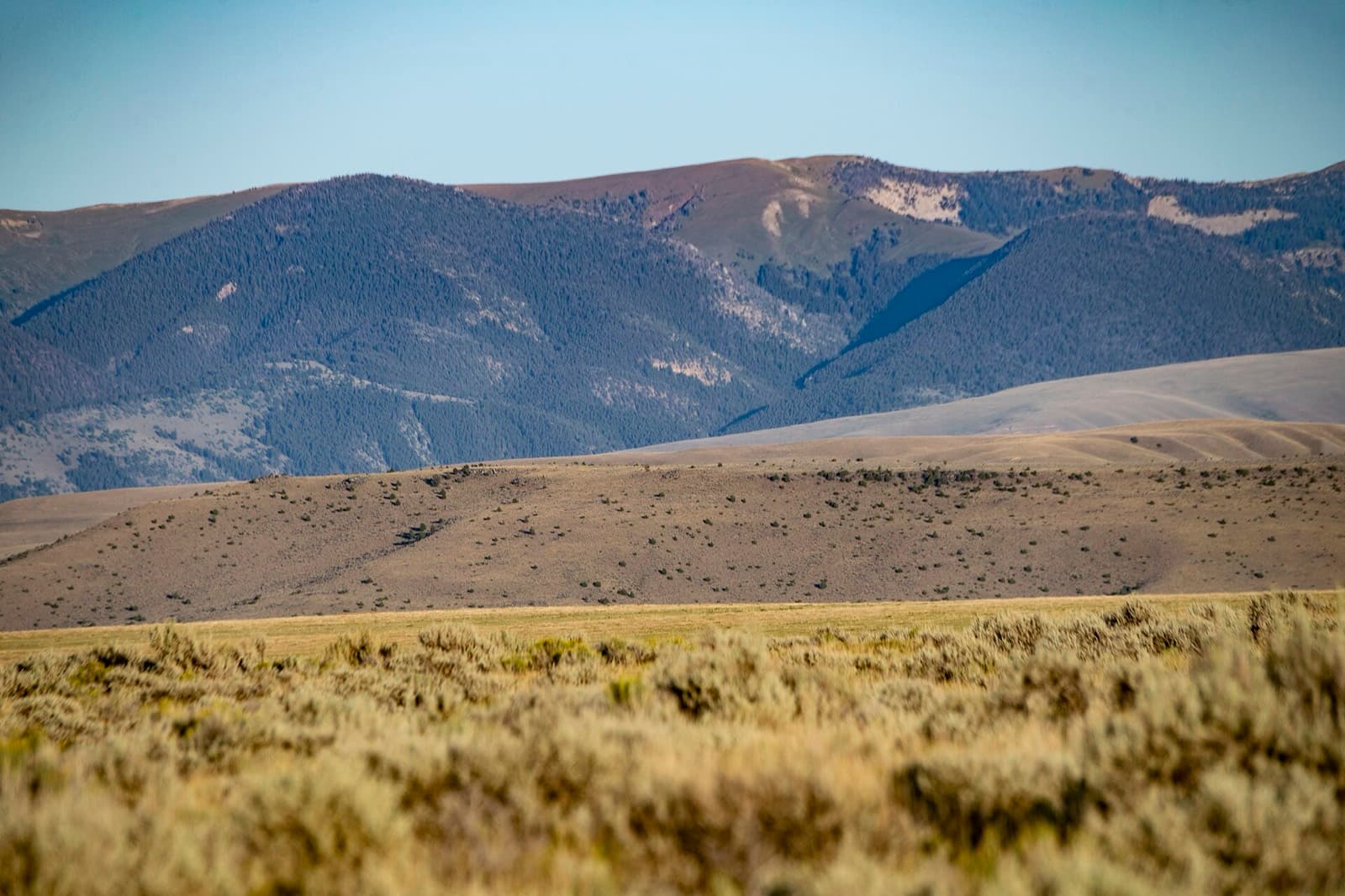
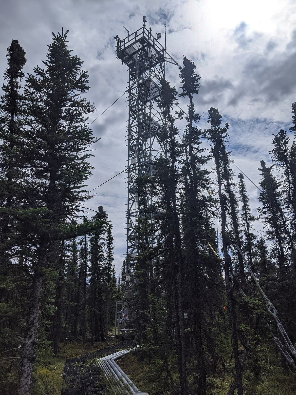
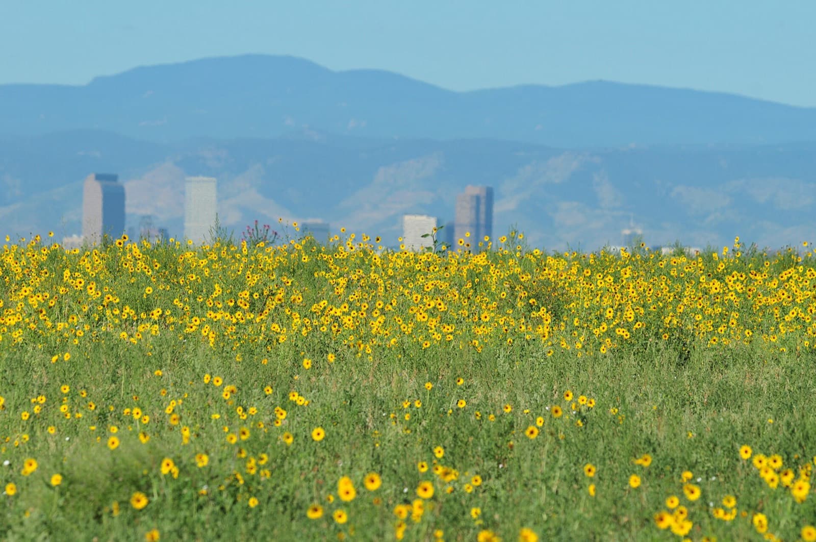
Photos: USDA NRCS and USFWS Mountain-Prairie (public domain and CC BY 2.0), Frank Schulenburg (CC BY-SA 4.0), Mbdfar (CC0), via Wikimedia Commons.
AtmoFacts makes land-atmosphere exchange visible, attributable, and actionable at the scale where land is managed.
We bring flux mapping out of the research lab to the people who manage land, run experiments, and answer for environmental outcomes. Our work narrows the gap between environmental claims and measured reality, and we favor careful science and durable relationships over speed and hype.
Flux mapping recovers spatial detail that traditional processing discards. We offer it at lower cost, with predictable quality and time to value, so direct measurement becomes the status quo rather than the exception.
Land-atmosphere exchange is measured by the station and attributed to the parcels and practices that produced it. That is the missing link between environmental claims and the stewardship rights that depend on them.
As the societal cost of heat, water, and carbon grows, continuous measurement of how well solutions work becomes necessary. Better attribution makes greenwashing harder and fair compensation more possible.
AtmoFacts was founded to unite the climate community through the power of direct molecule-counting flux measurements. Direct measurement offers a universal benchmark for climate data and creates common ground across industries. Mapping those measurements onto the land brings out the full potential of eddy covariance and delivers on-the-ground intelligence for climate action.

Founder Dr. Stefan Metzger invents the FluxMapper software to address the need for accurate greenhouse gas measurements from aerial platforms.

FluxMapper is extended to tower-based flux stations to act as a force multiplier.

Researchers continuously refine and validate the FluxMapper software through extensive field campaigns across diverse ecosystems worldwide.

AtmoFacts is founded, FluxMapper is patented, and commercial services are launched to bring direct measurement to a broader market.

Built in the Colorado Front Range, our team unites micrometeorology, geospatial engineering, software, and design. Reach out to info@atmofacts.com to inquire about careers.
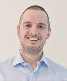
Founder & CEO
Stefan bridges atmospheric science, entrepreneurship and technology transfer. He led surface-atmosphere research from field instrumentation to national infrastructures such as neonscience.org and now focuses on turning those insights into real-world environmental intelligence. Stefan is co-founder of carbondew.org and adjunct faculty at UW-Madison.

Product Lead
Sam is passionate about the transfer of climate technology into commercial use for societal benefit. He studied geology at Colorado College and West Virginia University before joining AtmoFacts, where he began working closely with the FluxMapper technology to scale it. Sam currently works on customer projects and product design, with an emphasis on industry partnerships.

Research Scientist
Allen studied the relationships between forest canopy plant traits and carbon fluxes mapped with FluxMaps, work that became his master’s thesis. At AtmoFacts he analyzes, interprets, and communicates FluxMap data for clients and leads fluxmapPy, our Python package and its tutorials. His background is in environmental science, GIS, and education.
What's new in FluxMapper Studio, and the first release of fluxmapPy, our open-source Python package for analyzing FluxMaps.
Curious whether flux mapping fits your site, study, or program? Write to us and we will answer within one to two business days. If FluxMapper is not the right tool for your question, we will say so and point you toward one that is.
Have a question or want to work with us? Fill out the form below and we'll get back to you soon.